TRAINING ROUTES
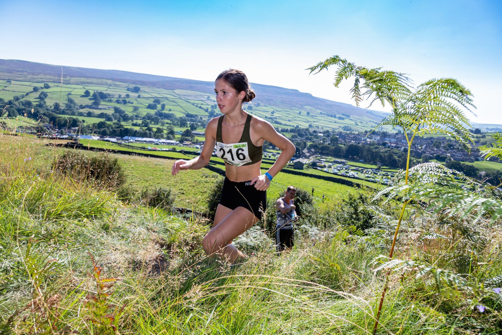
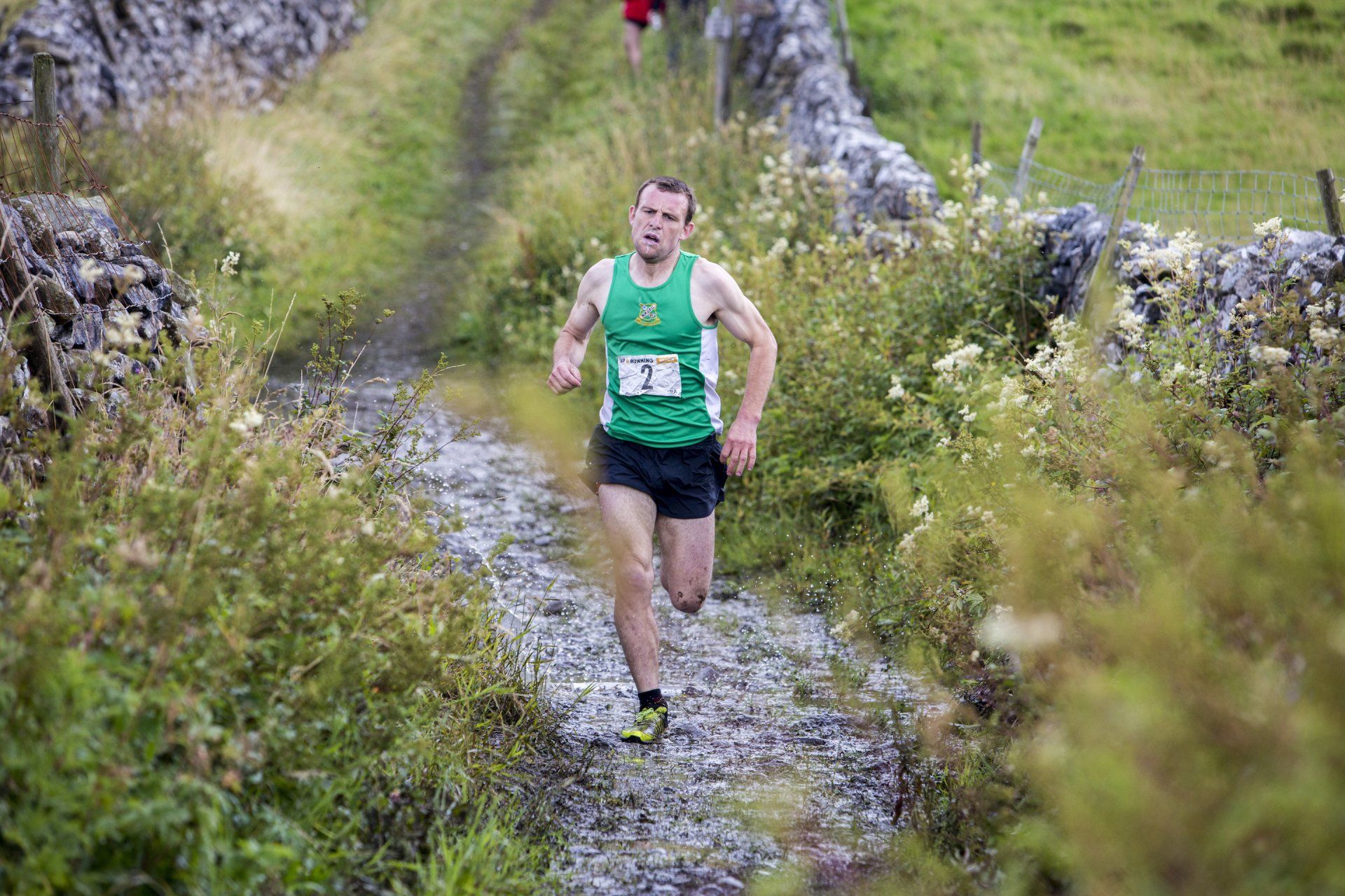
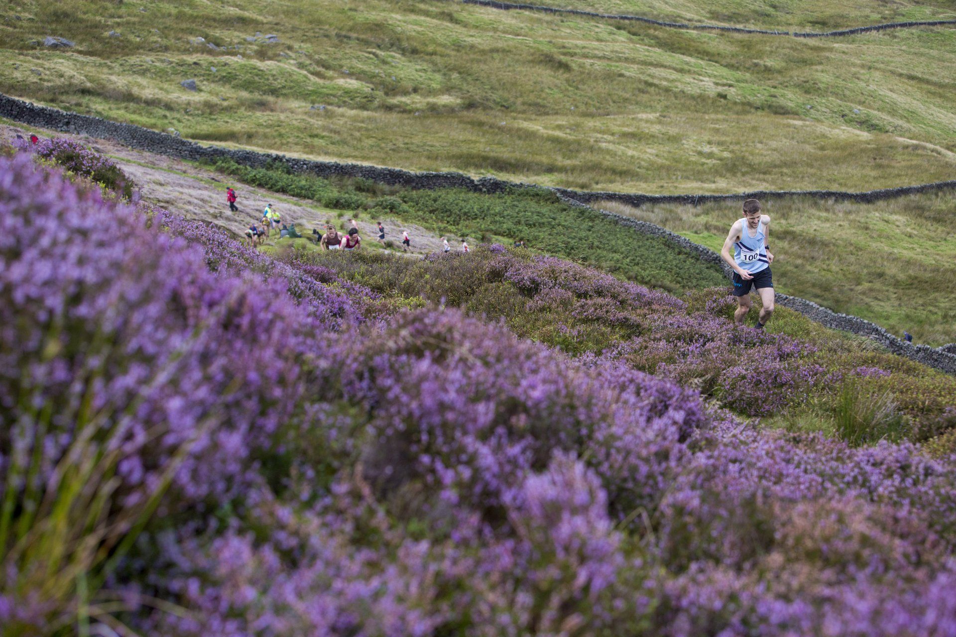
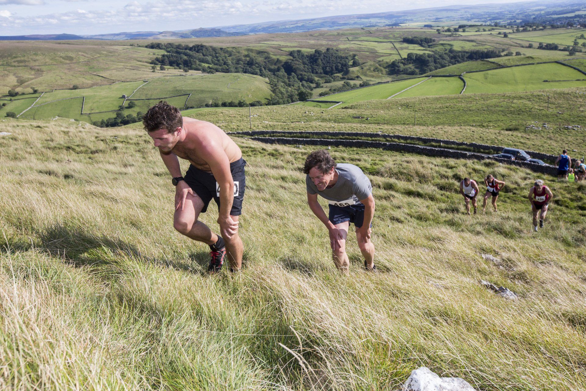
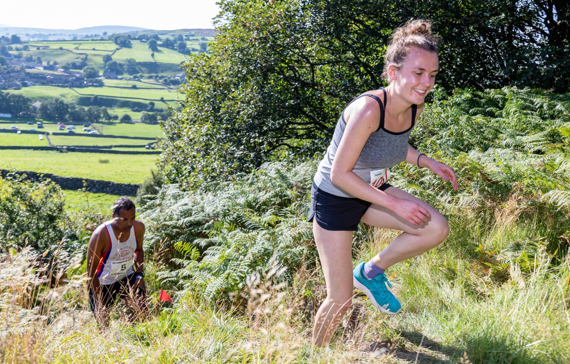
The Dales is renowned for its many energising bridal ways and green path ways, which can also make the perfect off road training routes.
www.gofar.org.uk
is a popular site offering a variety of ultra challenges, listed by region.
We’ve also teamed up with Dales walking expert, Jonathan Smith who's put together the following selection of circular training routes:
Training Routes
The 12 training runs are listed from those that are easiest to some tough ones towards the end. The two final training runs are part of the Dales 30 mountains. These are the 30 mountains that are over 2,000 feet high that make an excellent focus for those wanting/needing a challenge on their runs.
A Circuit of Malham Tarn
4.5 miles
80m height gain
A straightforward circuit of a beautiful tarn. A mix of good tracks and quiet roads on a flat run, starting alongside the tarn, through some woodland and finishing on the open roads with views over the tarn.
Moors over Swaledale
6 miles
220m height gain
Run through a landscape reminiscent of Star Wars, a desolate but fascinating area revealing the remains of the areas industrial past. The route is all on excellent tracks with then option to extend it if wanted.
Jervaulx Abbey and the River Ure
7 miles
50m height gain
Start at the abbey car park and follow good tracks to the village of Thornton Steward, through Danby Hall and back along the river.
Ilkley Moor
5.5 miles
190m height gain
Park at the Cow and Calf and head uphill to the Twelve Apostles. Not a long run but over some rough ground, particularly when returning east. Great views over Ilkley.
Grassington Moor
7 miles
280m height gain
From Grassington head up to Yarnbury in to the area of old lead mines. The wide track continues to Mossdale Scar returning via the higher moors. Great views over Wharfedale.
Lanes above Long Preston
7.5 miles
210m height gain
A run through a quieter area of the Dales near Skipton. The run is on clearly defined paths and two wide lanes that pass through some lovely countryside.
Kettlewell to Littondale
7 miles
480m height gain
Two steep climbs and a pretty riverside run characterise this run in my favourite part of the Dales. The tracks over the hills are rough but the scenery should be a welcome distraction.
Countryside of Pateley Bridge
7.5 miles
300m height gain
This route undulates through some rolling countryside with a number of shorter climbs mixed with stretches of easy paths.
The Settle Loop
10 miles
460 m height gain
The Settle Loop passes through some of the best limestone scenery in the Yorkshire Dales. Starting in Settle it is a steep climb to start with before flattening our near Attermire. The paths are very good, as are the views over the Ribble valley and Malham.
Askrigg and Aysgarth
11.5 miles
300m height gain
A longer run between two of the most iconic areas in the Yorkshire Dales. The paths are generally good, head to the higher lands to start, returning alongside the River Ure.
Barbondale and Calf Top
10 miles
560m height gain
Calf Top is a long grassy ridge above the pretty and unspoilt valley of Barbondale. The climb is never steep and on a good path, the descent is steeper and trackless but the return is alongside the road and a good track.
The Howgill Fells
10.5 miles
600m height gain
You are unlikely to see many if anyone on this run. The steep climb from Sedbergh is followed by a long relatively flat section across the spine of the Howgills. A steep descent followed by a rough path completes a memorable run.
Social Fitness Networks
Social fitness and running networks such as Strava,
are another tool you can use to help you get up, out and running. The various free mobile apps collate registered users' routes, speeds and times using GPS data. Great for not only finding new routes locally, but even if you are running alone you can track your time against friends and other ‘virtual’ competitors.
